
Cadastral Surveyor Services for Family Land Division Plans
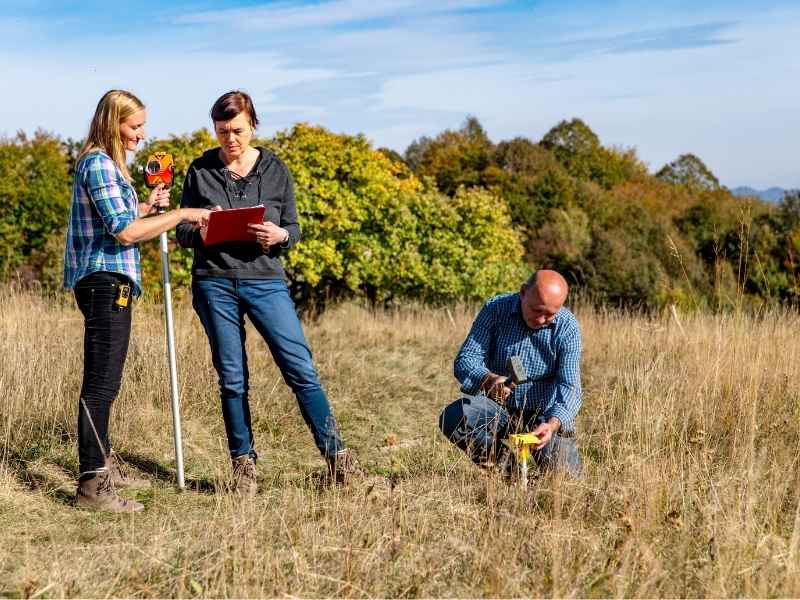
Splitting family land between siblings, children or other relatives sounds easy. But drawing the actual lines is not simple at all. A cadastral surveyor maps the exact borders, buildings and access points needed to divide land fairly and legally.
Skip this and you take on real risk. You could create pieces of land that break county rules. You could cut off access to a piece of land with no road nearby. You could even start a family fight that lasts for years. Where family land often sits near growing suburbs and rising home prices, these mistakes get expensive fast.
A cadastral surveyor gives your family clear facts before anyone signs paperwork. Here is what that process should cover.
Confirm the Parent Tract Before Planning Family Parcels
Before you split anything, you need to know exactly what you are splitting. The parent tract is the full piece of land before any division happens. A cadastral surveyor confirms its property boundaries using deed records, older surveys and physical markers found on the ground.
This matters more than most families think. Old deeds sometimes describe borders in vague ways. They may point to landmarks that no longer exist. They may use measurements that do not match how surveys work today.
Your surveyor will also check for:
- Boundary lines that clash with a neighbor’s deed
- Differences between the recorded plat and the actual fence lines
- Any part of a neighbor’s property that crosses onto this land
Getting this starting point right protects every piece you create later. If the parent tract border is wrong, every new line drawn from it will be wrong too.
Map Existing Improvements Across the Family Property
Once the border is confirmed, your surveyor maps what already sits on the land. This includes homes, barns, wells, septic systems, fences and anything else built over the years.
Family land often has additions from different generations. Some may not have permits or updated records. A cadastral surveyor writes down what is actually there, not just what old paperwork says.
This mapping helps answer a real question. Which buildings should stay with which future piece of land? A well that serves two houses, for example, needs a plan before the land gets split, not after.
Develop Parcel Lines Around Intended Family Uses
Once the border and buildings are confirmed, the next step is drawing lines that match how the family wants to use the land. One sibling may want the part with the house on it. Another may want open land to build later. A third may want land close to the road for easy access.
A cadastral surveyor uses these goals to draw lines that work in real life and hold up legally. This means checking minimum lot size rules, which can change based on the county and whether the land sits inside city limits or in unincorporated Dallas County.
A few things often shape how these lines get drawn:
- Buildings that need to stay fully inside one piece of land
- Road frontage and whether each piece needs its own way in
- Utility lines or wells that serve more than one planned piece
Getting these lines right the first time saves the family from expensive redraws later.
Address Shared Access and Easements Between New Parcels
Family land splits often create at least one piece with no direct road access. When that happens, the family needs an access easement. This is a legal right for one piece of land to cross another piece to reach a public road.
A cadastral surveyor figures out where these easements should go and how wide they need to be. This step also covers shared utilities, like a driveway, water line or septic system that will now serve more than one separately owned piece of land.
Put these details in writing. Spoken agreements between family members can lead to confusion or arguments later, especially once the land passes to the next generation or gets sold outside the family.
Prepare Survey Information for the Land Division Process
Once the borders, buildings, parcel lines and easements are confirmed, your surveyor prepares the paperwork needed for the county’s land division process. Requirements can change based on the county, the city and whether the split counts as a simple division or a formal subdivision plat.
This paperwork usually needs to show each new piece’s borders, size, access points and any recorded easements. Check with your county’s planning or platting office to learn exactly what documents they need before you submit anything.
Talk to your surveyor early about your timeline. This matters most if the land division needs to finish before a sale, a loan or a permit deadline. County approval can take longer than families expect, especially if the county asks for changes.
